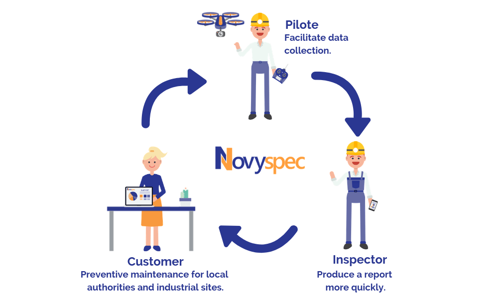
We are implementing a digital solution that allows us to use UAV pipe inspection data to improve your productivity.

Requirements
We supply a digital solution to support your technical inspections of infrastructures and urban networks, possibly using drones.
The objective is to improve inspection productivity by automatically generating inspection reports in accordance with your standards, norms and business processes.
We are also improving the anomaly management process.
In addition, we have all the necessary elements to enable you to feed and exploit new “Machine Learning” technologies as part of your inspection activities.

Answer
- We digitize the inspection process and workflow according to the « cadastre » and the inspected sections descriptions (sections, manholes, connections, slopes, etc…).
- We manage inspections assignments, access to the solution for operational staff and managers.
- We implement the nomenclature for: section reference, inspection direction, start and finish nodes, inspection types, locations, shapes, lengths, depths, materials.
- For each inspection point: codification of its time position and entry of the observation code in accordance with the EN 13508-2 standard.
- We manage the integration and annotation of images captured by the UAV.
- The operator can complete with free comments.

Benefits
- Automatic production of inspection reports.
- The reporting model can be customized to meet the specific needs of end-customers.
- Management of inspections with any equipment (smartphones, iPad) with or without network connection (automatic data synchronization in the presence of the network).
In the long term, possible enhancements will be, for instance: the use of localisation to generate the underground infrastructure schematic; the coupling with a “machine learning” tool to generate an automatic defect recognition algorithm; the pre-filling of inspections via the import of customer GIS data.
Illustration